
Rialto topographic map
Click on the map to display elevation.
About this map
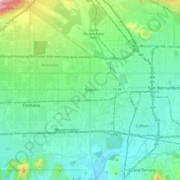
Name: Rialto topographic map, elevation, terrain.
Location: Rialto, San Bernardino County, California, United States (34.02459 -117.43679 34.18715 -117.34104)
Average elevation: 391 m
Minimum elevation: 254 m
Maximum elevation: 945 m
Other topographic maps
Click on a map to view its topography, its elevation and its terrain.
Sam Alba Memorial Park
United States > California > San Bernardino County > Ontario
Average elevation: 296 m