
Hammarland topographic map
Interactive map
Click on the map to display elevation.
About this map
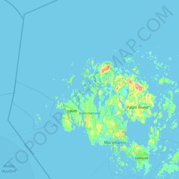
Name: Hammarland topographic map, elevation, terrain.
Location: Hammarland, Ålands Countryside, Åland Islands, 22240, Finland (59.95645 19.08320 60.66581 19.84932)
Average elevation: 3 m
Minimum elevation: -4 m
Maximum elevation: 118 m
Other topographic maps
Click on a map to view its topography, its elevation and its terrain.