
Maidenwell topographic map
Interactive map
Click on the map to display elevation.
About this map
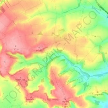
Name: Maidenwell topographic map, elevation, terrain.
Location: Maidenwell, East Lindsey, Lincolnshire, England, United Kingdom (53.26535 -0.05739 53.30862 0.02612)
Average elevation: 106 m
Minimum elevation: 48 m
Maximum elevation: 150 m