
Pelzer topographic map
Interactive map
Click on the map to display elevation.
About this map
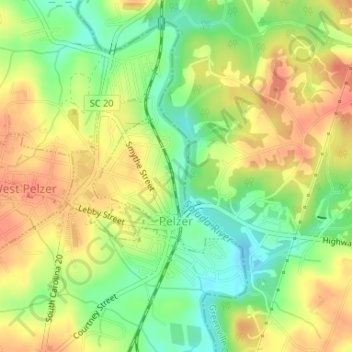
Name: Pelzer topographic map, elevation, terrain.
Location: Pelzer, Anderson County, South Carolina, United States (34.63991 -82.46634 34.65173 -82.45140)
Average elevation: 239 m
Minimum elevation: 212 m
Maximum elevation: 261 m