
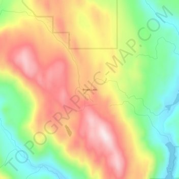
Brown Lake topographic map
Interactive map
Click on the map to display elevation.
About this map
Name: Brown Lake topographic map, elevation, terrain.
Location: Brown Lake, Okanogan County, Washington, USA (48.44598 -119.67617 48.48598 -119.63617)
Average elevation: 719 m
Minimum elevation: 472 m
Maximum elevation: 970 m