Geolocate

Section topographic map

Click on the map to display elevation.

About this map

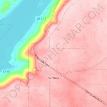
Name: Section topographic map, elevation, terrain.

Location: Section, Jackson County, Alabama, United States (34.56409 -86.00215 34.61872 -85.96705)

Average elevation: 349 m

Minimum elevation: 176 m

Maximum elevation: 426 m

Other topographic maps

Click on a map to view its topography, its elevation and its terrain.

Woodville

United States > Alabama > Jackson County > Woodville

Average elevation: 212 m

Gear up for your next adventure:

🌿Flora and Fauna Field Guides - Identify the plants and animals you encounter on your route
🧥Insulated Down Jackets - High warmth-to-weight ratio for cold nights in the high country
🔋Solar Power Banks - Solar chargers for outdoors
GPS Watches - GPS watches for outdoor sports
🧥Down Jackets - Insulated jackets for cold weather

As an Amazon Associate, this site earns from qualifying purchases at no extra cost to you.