Geolocate

Surfside Beach topographic map

Click on the map to display elevation.

About this map
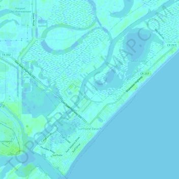
Name: Surfside Beach topographic map, elevation, terrain.

Location: Surfside Beach, Brazoria County, Texas, United States (28.93661 -95.30586 28.98674 -95.25132)

Average elevation: 2 m

Minimum elevation: -3 m

Maximum elevation: 9 m

Other topographic maps

Click on a map to view its topography, its elevation and its terrain.

Gear up for your next adventure:

🧊Insulated Cooler Bags - Keep food fresh for day trips to remote geographic sites
🧥Insulated Down Jackets - High warmth-to-weight ratio for cold nights in the high country
🎒Hiking Backpacks - Backpacks designed for hiking and trekking
🧥Down Jackets - Insulated jackets for cold weather
🥾Hiking Shoes - Lightweight hiking shoes for day hikes

As an Amazon Associate, this site earns from qualifying purchases at no extra cost to you.