
Vansbro kommun topographic map
Interactive map
Click on the map to display elevation.
About this map
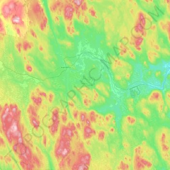
Name: Vansbro kommun topographic map, elevation, terrain.
Location: Vansbro kommun, Dalecarlia, Sweden (60.22884 13.89921 60.69259 14.68240)
Average elevation: 321 m
Minimum elevation: 203 m
Maximum elevation: 566 m
Other topographic maps
Click on a map to view its topography, its elevation and its terrain.