
Algeria - Camps topographic map
Interactive map
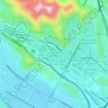
Click on the map to display elevation.
About this map
Name: Algeria - Camps topographic map, elevation, terrain.
Location: Algeria - Camps, Makkah Region, 24242, Saudi Arabia (21.39413 39.86628 21.43413 39.90628)
Average elevation: 402 m
Minimum elevation: 290 m
Maximum elevation: 859 m