
Caimito topographic map
Interactive map
Click on the map to display elevation.
About this map
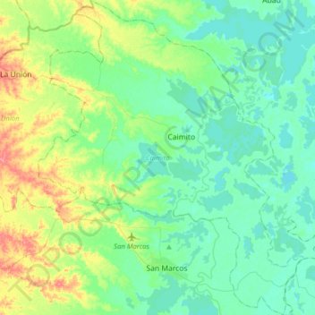
Name: Caimito topographic map, elevation, terrain.
Location: Caimito, San Jorge, Sucre, Colombia (8.61568 -75.25835 8.92420 -74.99442)
Average elevation: 29 m
Minimum elevation: 9 m
Maximum elevation: 89 m
Other topographic maps
Click on a map to view its topography, its elevation and its terrain.