Geolocate

Round Top topographic map

Click on the map to display elevation.

About this map
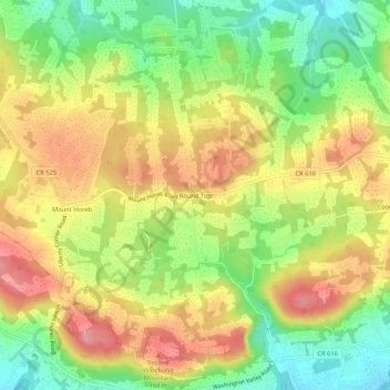
Name: Round Top topographic map, elevation, terrain.

Location: Round Top, Warren Township, Somerset County, New Jersey, 08836, United States (40.59982 -74.56488 40.63982 -74.52488)

Average elevation: 128 m

Minimum elevation: 69 m

Maximum elevation: 186 m

Gear up for your next adventure:

📚Map Reading & Navigation Guides - Master the art of interpreting topographic contours and symbols
🧥Thermal Emergency Blankets - Compact Mylar blankets to prevent hypothermia if stranded overnight
👟Lightweight Trail Runners - Agile footwear for fast movement over rugged Australian terrain
🧺Fast-Dry Microfiber Towels - Large towels that pack down to the size of an orange
🥾Heavy Duty Hiking Boots - Ankle-supporting boots for carrying heavy packs on steep contours

As an Amazon Associate, this site earns from qualifying purchases at no extra cost to you.