Geolocate

Black Hill topographic map

Click on the map to display elevation.

About this map
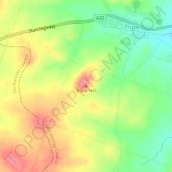
Name: Black Hill topographic map, elevation, terrain.

Location: Black Hill, Truro, Mid Murray Council, South Australia, 5356, Australia (-34.41871 139.11837 -34.41861 139.11847)

Average elevation: 372 m

Minimum elevation: 328 m

Maximum elevation: 416 m

Mid Murray Council trails, hiking, mountain biking, running and outdoor activities

Gear up for your next adventure:

📡Weather Radios - Emergency weather radios
🪢Paracord - Multi-purpose survival cord
🧥Down Jackets - Insulated jackets for cold weather
🌧️Rain Jackets - Waterproof jackets for hiking
🏃Compression Recovery Socks - Reduce leg fatigue after heavy days of elevation gain

As an Amazon Associate, this site earns from qualifying purchases at no extra cost to you.