Geolocate

Rolleston topographic map

Click on the map to display elevation.

About this map

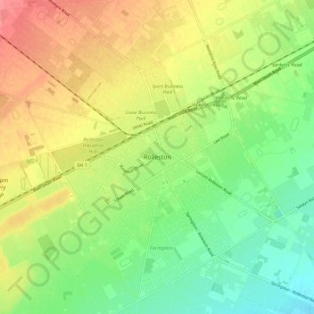
Name: Rolleston topographic map, elevation, terrain.

Location: Rolleston, Selwyn District, Canterbury, 7643, New Zealand (-43.63665 172.34500 -43.55665 172.42500)

Average elevation: 54 m

Minimum elevation: 22 m

Maximum elevation: 91 m

Gear up for your next adventure:

🪢Paracord - Multi-purpose survival cord
🎒Dry Bags - Waterproof bags for outdoor gear
🧼Biodegradable Outdoor Soap - Clean gear and yourself without harming the local ecosystem
📷Backpack Camera Clips - Quick access to your camera while keeping your hands free for climbing
🧴SPF 50+ Bulk Sunscreen - Maximum protection for long-term outdoor exposure

As an Amazon Associate, this site earns from qualifying purchases at no extra cost to you.