
West Kingsdown topographic map
Interactive map
Click on the map to display elevation.
About this map
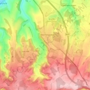
Name: West Kingsdown topographic map, elevation, terrain.
Average elevation: 154 m
Minimum elevation: 38 m
Maximum elevation: 235 m
Other topographic maps
Click on a map to view its topography, its elevation and its terrain.
Sevenoaks
United Kingdom > England > Sevenoaks
Sevenoaks, Kent, South East, England, United Kingdom
Average elevation: 127 m