
Moina topographic map
Interactive map
Click on the map to display elevation.
About this map
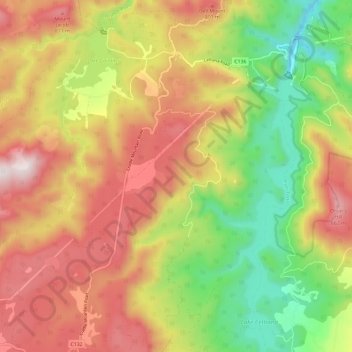
Name: Moina topographic map, elevation, terrain.
Location: Moina, Kentish, Tasmania, Australia (-41.54980 146.03942 -41.46209 146.13582)
Average elevation: 530 m
Minimum elevation: 126 m
Maximum elevation: 938 m
Other topographic maps
Click on a map to view its topography, its elevation and its terrain.