
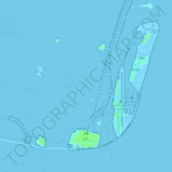
Malé topographic map
Interactive map
Click on the map to display elevation.
About this map
Name: Malé topographic map, elevation, terrain.
Location: Malé, Maldives (4.16830 73.45459 4.24117 73.55191)
Average elevation: 0 m
Minimum elevation: -1 m
Maximum elevation: 12 m
Malé has a tropical monsoon climate under the Köppen climate classification. The city features a mix of both wet and dry seasons, with the wet season lasting from April through January and the drier season covering the months of February and March. Unlike a number of cities with this climate, Malé experiences relatively consistent temperatures throughout the course of the year, with an average high of 30 °C or 86 °F and an average low of 26.5 °C or 79.7 °F, which is equivalent to many equatorial cities' average year-round daily mean. The city averages slightly more than 1,900 millimetres or 75 inches of precipitation annually. The temperature is constantly high year-round due in part to the Maldives having the lowest median elevation anywhere in the world.
Other topographic maps
Click on a map to view its topography, its elevation and its terrain.
Maamin'gili
Maldives > Maalhosmadulu Uthuruburi
Maamin'gili, Maalhosmadulu Uthuruburi, Maldives
Average elevation: 0 m
Goidhoo
Maldives > South Maalhosmadulu
Goidhoo, South Maalhosmadulu, 06110, Maldives
Average elevation: 0 m
Southern Maalhosmadulhu Atoll
Southern Maalhosmadulhu Atoll, Sosun Magu, Baa, Maldives
Average elevation: 0 m
Finolhu Baa Atoll
Maldives > Maalhosmadulu Dhekunuburi
Finolhu Baa Atoll, Maalhosmadulu Dhekunuburi, Maldives
Average elevation: 0 m