Geolocate

Springton topographic map

Click on the map to display elevation.

About this map

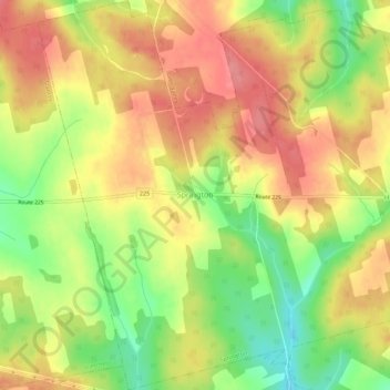
Name: Springton topographic map, elevation, terrain.

Location: Springton, Queens County, Prince Edward Island, Canada (46.30090 -63.44751 46.33926 -63.39202)

Average elevation: 104 m

Minimum elevation: 53 m

Maximum elevation: 143 m

Gear up for your next adventure:

🧣Merino Neck Gaiters - Versatile headwear for warmth, sun protection, or dust filtering
🧥Insulated Down Jackets - High warmth-to-weight ratio for cold nights in the high country
🔦Headlamps - Hands-free lighting for hiking
👣Snake & Scrub Gaiters - Protection against spinifex, mud, and snakes while walking off-track
🧭Compass - Navigation compasses for outdoor exploration

As an Amazon Associate, this site earns from qualifying purchases at no extra cost to you.