
Mere topographic map
Interactive map
Click on the map to display elevation.
About this map
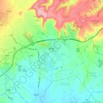
Name: Mere topographic map, elevation, terrain.
Location: Mere, Wiltshire, South West England, England, United Kingdom (51.05518 -2.29526 51.11982 -2.20212)
Average elevation: 134 m
Minimum elevation: 78 m
Maximum elevation: 246 m