
白马寺山 topographic map
Interactive map
Click on the map to display elevation.
About this map
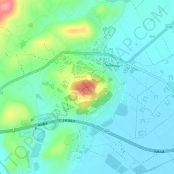
Name: 白马寺山 topographic map, elevation, terrain.
Location: 白马寺山, 祥云县, 大理白族自治州, 云南省, 中国 (25.42147 100.68532 25.42157 100.68542)
Average elevation: 1,985 m
Minimum elevation: 1,955 m
Maximum elevation: 2,070 m
Other topographic maps
Click on a map to view its topography, its elevation and its terrain.