Geolocate

Bosham topographic map

Click on the map to display elevation.

About this map

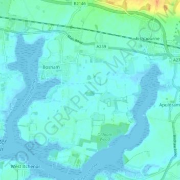
Name: Bosham topographic map, elevation, terrain.

Location: Bosham, Chichester, West Sussex, England, United Kingdom (50.80212 -0.87348 50.84997 -0.81344)

Average elevation: 5 m

Minimum elevation: -3 m

Maximum elevation: 35 m

Gear up for your next adventure:

🧺Fast-Dry Microfiber Towels - Large towels that pack down to the size of an orange
📸Action Cameras - Record your journey across interesting topographic features in 4K
📟Satellite Messengers - Two-way satellite communication to stay in touch beyond the cellular grid
🎧Bluetooth Outdoor Earbuds - Listen to navigation cues or podcasts during long solo treks
🥶Thermal Beanies - Warm hats for cold hikes

As an Amazon Associate, this site earns from qualifying purchases at no extra cost to you.