
Monte Sant'Angelo topographic map
Interactive map
Click on the map to display elevation.
About this map
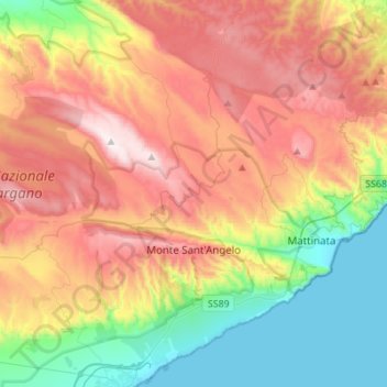
Name: Monte Sant'Angelo topographic map, elevation, terrain.
Location: Monte Sant'Angelo, Foggia, Apulia, 71037, Italy (41.63858 15.80256 41.83115 16.07789)
Average elevation: 456 m
Minimum elevation: 0 m
Maximum elevation: 1,006 m
Other topographic maps
Click on a map to view its topography, its elevation and its terrain.