
Lowbanks topographic map
Interactive map
Click on the map to display elevation.
About this map
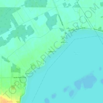
Name: Lowbanks topographic map, elevation, terrain.
Location: Lowbanks, Haldimand County, Ontario, N0A 1K0, Canada (42.84766 -79.48043 42.88766 -79.44043)
Average elevation: 175 m
Minimum elevation: 169 m
Maximum elevation: 198 m