
Sweetwater County topographic map
Interactive map
Click on the map to display elevation.
About this map
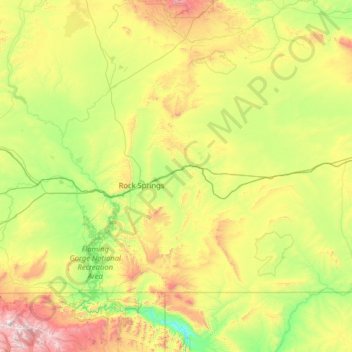
Name: Sweetwater County topographic map, elevation, terrain.
Location: Sweetwater County, Wyoming, USA (40.99712 -110.05393 42.27055 -107.49941)
Average elevation: 2,142 m
Minimum elevation: 1,633 m
Maximum elevation: 3,855 m