
Barnhart topographic map
Interactive map
Click on the map to display elevation.
About this map
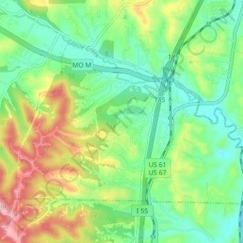
Name: Barnhart topographic map, elevation, terrain.
Location: Barnhart, Jefferson County, Missouri, USA (38.32309 -90.43338 38.35658 -90.37082)
Average elevation: 155 m
Minimum elevation: 109 m
Maximum elevation: 249 m