
Salamanda topographic map
Interactive map
Click on the map to display elevation.
About this map
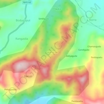
Name: Salamanda topographic map, elevation, terrain.
Location: Salamanda, Visakhapatnam, Andhra Pradesh, India (18.18432 82.77648 18.22432 82.81648)
Average elevation: 1,131 m
Minimum elevation: 934 m
Maximum elevation: 1,395 m