
Wardell topographic map
Interactive map
Click on the map to display elevation.
About this map
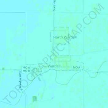
Name: Wardell topographic map, elevation, terrain.
Location: Wardell, Pemiscot County, Missouri, United States (36.34764 -89.82677 36.36117 -89.80869)
Average elevation: 82 m
Minimum elevation: 80 m
Maximum elevation: 85 m