
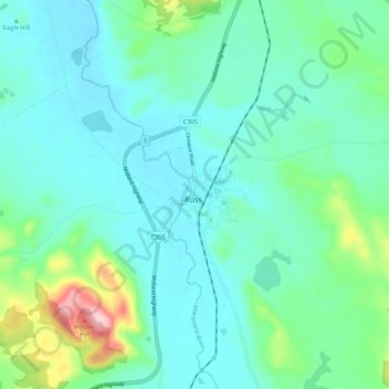
Ross topographic map
Interactive map
Click on the map to display elevation.
About this map
Name: Ross topographic map, elevation, terrain.
Location: Ross, Tasmania, 7209, Australia (-42.06916 147.45331 -41.98916 147.53331)
Average elevation: 214 m
Minimum elevation: 171 m
Maximum elevation: 392 m