
Top Hill topographic map
Interactive map
Click on the map to display elevation.
About this map
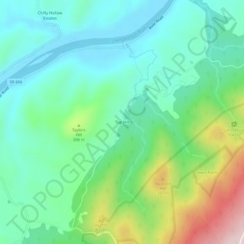
Name: Top Hill topographic map, elevation, terrain.
Location: Top Hill, Clarke County, Virginia, 20135, USA (39.07094 -77.93000 39.11094 -77.89000)
Average elevation: 228 m
Minimum elevation: 113 m
Maximum elevation: 526 m