
Sandai topographic map
Interactive map
Click on the map to display elevation.
About this map
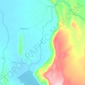
Name: Sandai topographic map, elevation, terrain.
Location: Sandai, Baringo, Kenya (0.34024 36.07387 0.39507 36.10072)
Average elevation: 1,080 m
Minimum elevation: 990 m
Maximum elevation: 1,306 m
Other topographic maps
Click on a map to view its topography, its elevation and its terrain.