
Bonner County topographic map
Interactive map
Click on the map to display elevation.
About this map
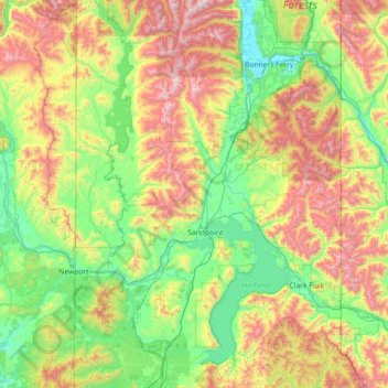
Name: Bonner County topographic map, elevation, terrain.
Location: Bonner County, Idaho, United States (47.88873 -117.04221 48.84707 -116.04867)
Average elevation: 1,052 m
Minimum elevation: 533 m
Maximum elevation: 2,298 m