
Parks topographic map
Interactive map
Click on the map to display elevation.
About this map
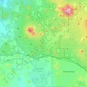
Name: Parks topographic map, elevation, terrain.
Location: Parks, Coconino County, Arizona, USA (35.14770 -112.11559 35.44786 -111.82972)
Average elevation: 2,217 m
Minimum elevation: 1,962 m
Maximum elevation: 3,152 m