
Park topographic map
Interactive map
Click on the map to display elevation.
About this map
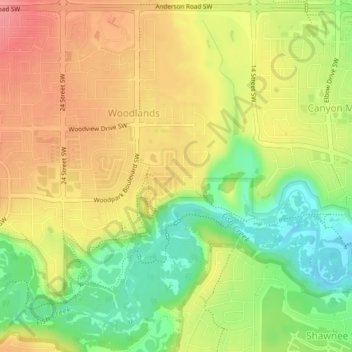
Name: Park topographic map, elevation, terrain.
Location: Park, Woodlands, Calgary, Alberta, Canada (50.93745 -114.10431 50.93770 -114.10396)
Average elevation: 1,085 m
Minimum elevation: 1,042 m
Maximum elevation: 1,122 m
Other topographic maps
Click on a map to view its topography, its elevation and its terrain.