
Byrnes Mill topographic map
Interactive map
Click on the map to display elevation.
About this map
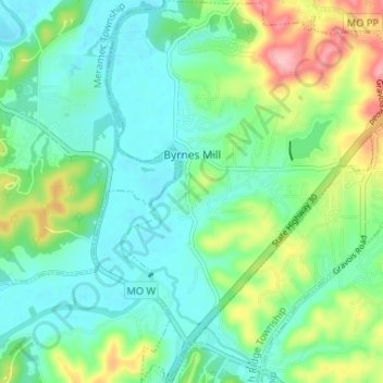
Name: Byrnes Mill topographic map, elevation, terrain.
Location: Byrnes Mill, Jefferson County, Missouri, USA (38.40724 -90.59633 38.45832 -90.54550)
Average elevation: 169 m
Minimum elevation: 128 m
Maximum elevation: 275 m