
Fangzheng topographic map
Interactive map
Click on the map to display elevation.
About this map
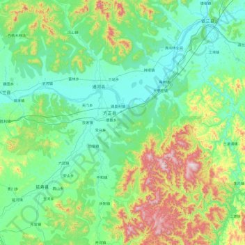
Name: Fangzheng topographic map, elevation, terrain.
Location: Fangzheng, Harbin City, Heilongjiang, PRC (45.14637 128.28725 46.42637 129.56725)
Average elevation: 301 m
Minimum elevation: 90 m
Maximum elevation: 1,352 m