
Sweets Corners topographic map
Interactive map
Click on the map to display elevation.
About this map
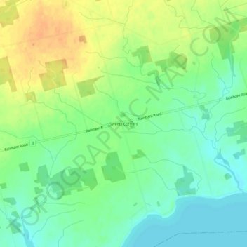
Name: Sweets Corners topographic map, elevation, terrain.
Location: Sweets Corners, Haldimand County, Ontario, Canada (42.83566 -79.82012 42.87566 -79.78012)
Average elevation: 187 m
Minimum elevation: 171 m
Maximum elevation: 206 m