
Hillston topographic map
Interactive map
Click on the map to display elevation.
About this map
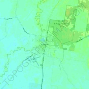
Name: Hillston topographic map, elevation, terrain.
Average elevation: 121 m
Minimum elevation: 117 m
Maximum elevation: 128 m
Other topographic maps
Click on a map to view its topography, its elevation and its terrain.
Willandra National Park
Australia > New South Wales > Hillston
Willandra National Park, Hillston, Carrathool Shire Council, New South Wales, 2675, Australia
Average elevation: 103 m