
Kętrzyn topographic map
Interactive map
Click on the map to display elevation.
About this map
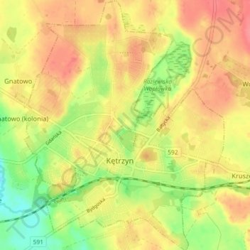
Name: Kętrzyn topographic map, elevation, terrain.
Location: Kętrzyn, Kętrzyn County, Warmian-Masurian Voivodeship, Poland (54.06123 21.34487 54.10341 21.40527)
Average elevation: 101 m
Minimum elevation: 64 m
Maximum elevation: 128 m