
Ghizo topographic map
Interactive map
Click on the map to display elevation.
About this map
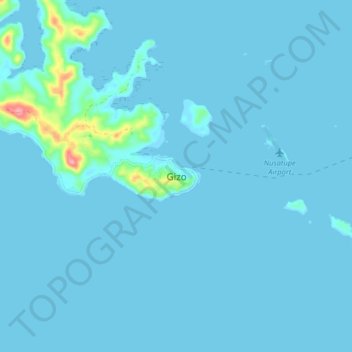
Name: Ghizo topographic map, elevation, terrain.
Location: Ghizo, Western Province, Solomon Islands (-8.14547 156.80136 -8.06547 156.88136)
Average elevation: 6 m
Minimum elevation: -1 m
Maximum elevation: 113 m