
Staverton topographic map
Interactive map
Click on the map to display elevation.
About this map
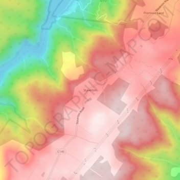
Name: Staverton topographic map, elevation, terrain.
Location: Staverton, Tasmania, Australia (-41.46344 146.16746 -41.42344 146.20746)
Average elevation: 437 m
Minimum elevation: 117 m
Maximum elevation: 599 m