
Willeskop topographic map
Interactive map
Click on the map to display elevation.
About this map
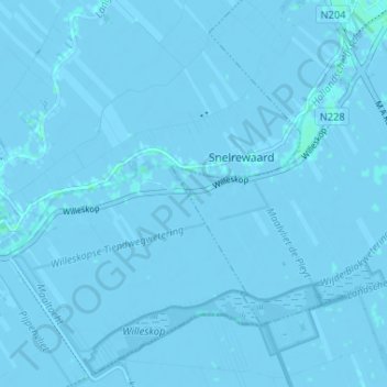
Name: Willeskop topographic map, elevation, terrain.
Location: Willeskop, Montfoort, Utrecht, Nederland, 3425 TC, Nederland (52.00361 4.88886 52.04361 4.92886)
Average elevation: -1 m
Minimum elevation: -5 m
Maximum elevation: 3 m
Willeskop is sinds 2002 ook een nieuw natuurontwikkelingsgebied dat in de Lopikerwaard ter hoogte van de Bloklandse Dijk ligt.
Other topographic maps
Click on a map to view its topography, its elevation and its terrain.
Huis Te Linschoten
Nederland > Utrecht > Montfoort
Huis Te Linschoten, Montfoort, Utrecht, Nederland, 3461AC, Nederland
Average elevation: 0 m