
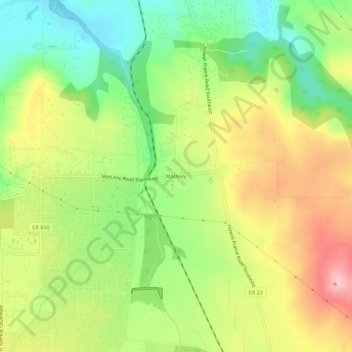
Macleay topographic map
Interactive map
Click on the map to display elevation.
About this map
Name: Macleay topographic map, elevation, terrain.
Location: Macleay, Marion County, Oregon, United States (44.88790 -122.90731 44.92790 -122.86731)
Average elevation: 135 m
Minimum elevation: 59 m
Maximum elevation: 225 m