
Georgetown topographic map
Interactive map
Click on the map to display elevation.
About this map
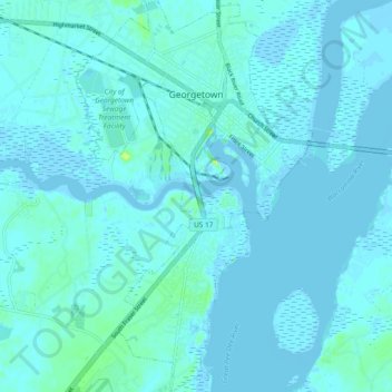
Name: Georgetown topographic map, elevation, terrain.
Location: Georgetown, Georgetown County, South Carolina, USA (33.31723 -79.32317 33.39550 -79.26659)
Average elevation: 2 m
Minimum elevation: -6 m
Maximum elevation: 24 m