
Benarkin North topographic map
Interactive map
Click on the map to display elevation.
About this map
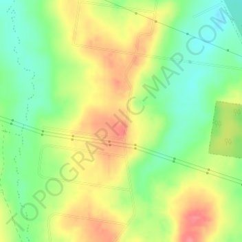
Name: Benarkin North topographic map, elevation, terrain.
Location: Benarkin North, Benarkin, Queensland, Australia (-26.86528 152.13972 -26.84528 152.15972)
Average elevation: 417 m
Minimum elevation: 381 m
Maximum elevation: 456 m
Other topographic maps
Click on a map to view its topography, its elevation and its terrain.