
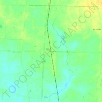
Corea topographic map
Interactive map
Click on the map to display elevation.
About this map
Name: Corea topographic map, elevation, terrain.
Location: Corea, Miller County, Georgia, United States of America (31.21435 -84.74714 31.25435 -84.70714)
Average elevation: 53 m
Minimum elevation: 42 m
Maximum elevation: 65 m