
Gunung Sibuatan topographic map
Interactive map
Click on the map to display elevation.
About this map
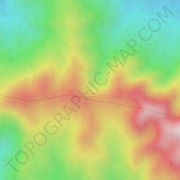
Name: Gunung Sibuatan topographic map, elevation, terrain.
Location: Gunung Sibuatan, Karo, North Sumatra, Indonesia (2.92520 98.40384 2.92530 98.40394)
Average elevation: 1,969 m
Minimum elevation: 1,694 m
Maximum elevation: 2,251 m
Other topographic maps
Click on a map to view its topography, its elevation and its terrain.