
Vasse topographic map
Interactive map
Click on the map to display elevation.
About this map
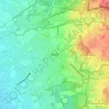
Name: Vasse topographic map, elevation, terrain.
Location: Vasse, Overijssel, Netherlands, 7661, Netherlands (52.41381 6.81233 52.45381 6.85233)
Average elevation: 42 m
Minimum elevation: 23 m
Maximum elevation: 78 m