
Castleton topographic map
Interactive map
Click on the map to display elevation.
About this map
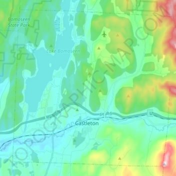
Name: Castleton topographic map, elevation, terrain.
Location: Castleton, Rutland County, Vermont, USA (43.58485 -73.24317 43.68020 -73.09554)
Average elevation: 213 m
Minimum elevation: 103 m
Maximum elevation: 649 m