
PL topographic map
Interactive map
Click on the map to display elevation.
About this map
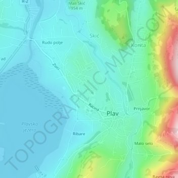
Name: PL topographic map, elevation, terrain.
Location: PL, Hridska, Plav, Plav Municipality, 84325, Montenegro (42.59118 19.92754 42.61007 19.94955)
Average elevation: 964 m
Minimum elevation: 900 m
Maximum elevation: 1,220 m