
Norman topographic map
Interactive map
Click on the map to display elevation.
About this map
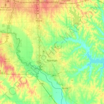
Name: Norman topographic map, elevation, terrain.
Location: Norman, Cleveland County, Oklahoma, USA (35.14532 -97.54745 35.34832 -97.17692)
Average elevation: 358 m
Minimum elevation: 317 m
Maximum elevation: 432 m