
Benham topographic map
Interactive map
Click on the map to display elevation.
About this map
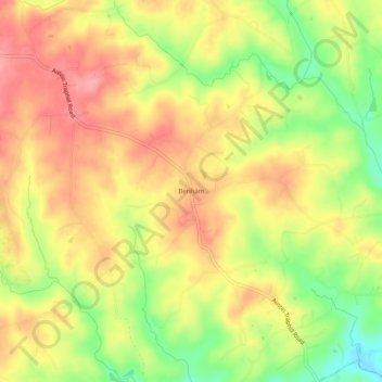
Name: Benham topographic map, elevation, terrain.
Location: Benham, Wilkes County, North Carolina, USA (36.27041 -80.93757 36.31041 -80.89757)
Average elevation: 373 m
Minimum elevation: 313 m
Maximum elevation: 416 m